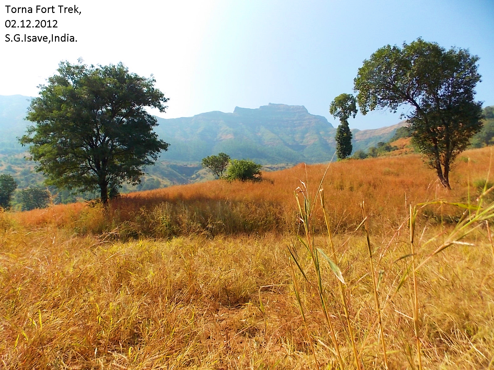
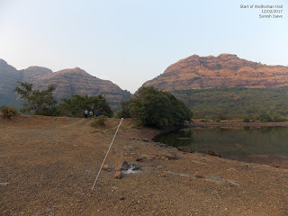
Andharban - अंधारबन


Important : You need to take prior permission from Forest dept of Maharashtra state to enter the Andharaban. Only limited trekkers allowed per-day.
For detail communication email to rfotamhini@gmail.com
There is compound to the entry of Andharban near Pimpri Dam. There is entry fees has been taken from July 2018 i.e. Forest entry Fee Rs. 150, Land owner Rs.50, Bheera Dam entry (Exit point) Rs. 50/, total Rs.250 per head to be paid in advance on site.
Also entry can be restricted due by forest dept due to bad weather conditions !
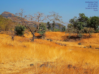
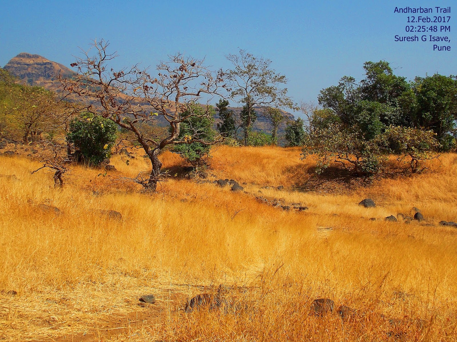
It is a deep jungle trails which give you pure experience of
the jungle.


How to Reach : Its about 80 km from Pune.
Pune – Chandani Chauk – Pirnagut –Paud – Mulashi – Tahmini –
Right turn to Bhamburde-Ghangad-Lonavla road –MCKS Ashram road – Ashram –
Kundlika valley – Pimpri dam – Parking – starting point of the jungle trail.


Google map
Parking : Sufficient open space is available for buses, cars
and bikes. If you planing complete trail, then make arrangement that the vehicle will be available at the end point, i.e. Bhira dam. So when you reach at the end, the vehicle ready. Generally no one back to the starting point because it will take 14/16 hrs to a round trip done by experienced trekkers. Better to start from Pimpri dam and complete at Bhira dam.


Food : No food available on the trail. Carry water and food more
than required. In the weekends of monsoon you will found small restaurants with tea, Maggie, Kandabhaji and Packets of chips etc.


About the Trail : The whole trail is about 6 hrs one side. Generally trekkers start from Pimpri dam and end it at the Bhira dam which is situated on the down base.
 The route starts from the left hand side of the
Pimpri dam next to Kundalika Valley. The dam is small. Go to the left side wall
of it towards the high power electric cable and poles along with the valley.
The route starts from the left hand side of the
Pimpri dam next to Kundalika Valley. The dam is small. Go to the left side wall
of it towards the high power electric cable and poles along with the valley.


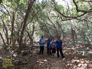

After approx. 120 mins. you will reach open space from where you can have enchanting view of Kundlika canyon and starting point of trek exactly opposite side of the valley. Take rest and do photography. Have some food here.


 Don't sit in the jungle for food because animals may attracted by smell. Again you will be in dark deep and calm jungle. instead of talking or music just listen the sounds of jungle and feel it.
Take care while crossing water streams.
 Some logs or temporary arrangements may be there. Carefully cross these water channels. Control over-confident and over enthusiastic friends.
Somewhere you may go strait in to the jungle by footprints. But just don't follow blindly. Keep eye on Valley. next 40/50 mins. will in the jungle. Be alert when near to water sources, because animals may there. Keep watching all around.


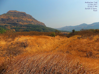
Again you will be in open land after 2/3 hrs of walking. Here the Andharban Jungle ends. Big confusion about the selection of the route. So explore properly.


After reaching at the corner of V shape, take left turn. You will reach other side of the trek.
Keep whole trek route on the edges of the Kundlika Valley. It is in V shape. Then take left turn.


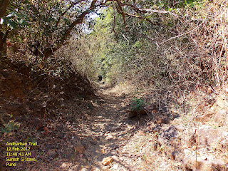
after 15/20 mins walk you will enter deep and dark forest. Hardly sun-rays reaches. Complete dark with a shade and multilayered trees. No trails can be found. Every chance to be lost. Watch and identify the footprints and ribbons tied by trekkers.


Walk slowly, carefully and in group. Don't let isolate any members. Many wild animals are noticed by trekkers and villagers. Keep vessels with you. Don't make too much noise. In case of confusion of route, follow the edges of Kundlika valley. No man made signs are found.


Take care while crossing water streams.

Somewhere you may go strait in to the jungle by footprints. But just don't follow blindly. Keep eye on Valley. next 40/50 mins. will in the jungle. Be alert when near to water sources, because animals may there. Keep watching all around.


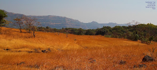
After 15/20 mins. you will find farms and few electric poles. means you are near Hirdi village. The Tailbaila mounts can be seen to right hand side. (west).

10/15 mins walks and you will be in the Hirdi village of 5/10 huts. Few villagers are there, they welcome you warmly. You can have food her carried with you.
After Food and rest you can start to the last phase of the jungle trail. Now you move away from Kundlika canyon. It will take 40/50 mins. descend to the Bhira dam where the trek ends. Your vehicle may be ready to take you back.
What to see : The whole trek give you the sight of dark forest with bushes, trees, climbers, creepers and grass and noise of insects and birds. observe the biodiversity. Feel no-man land. Valley, canyon, mountains and unique structure of anthills.
Best Season : Except Rainy days and May due to heat and humidity.
Trek Safety :
- Plan it in daytime only. 7 am to 6 pm recommended.
- No mobile coverage.
- No clear trail. In case of confusion of route, follow the edges of Kundlika valley.
- No human settlement.
- Be aware of animals and insects.
- Risky turns and streams. Don't swim in the water bodies.
- Don’t show over confidence; find a proper trail with common sense. Chance to lost in jungle is more.
- Be with group. Don't let anyone be isolated.
- Carry extra food and water.
- Don't stop for food in the jungle. eat in the open space.
- Don't carry Non-veg food, wild animals may be attracted to it.
- Keep vessels, Torch, lighter and first aids kit.
- Keep strong wooden sticks with you to support and protect.
- In case of wild animals encounter make a group/huddle and make maximum noise as you can. Bigger shape and louder noise may work.


TAKE CARE !!