Pages

Showing posts with label difficult treks near pune. Show all posts

4.5.18

Katraj to Sinhgad Trek (K2S)

Katraj to Sinhgad Trek
Katraj to Sinhgad is popularly know as K2S trek. Its a hill top trek from Pune ( Katraj) to Sinhgad Fort. Its done on Full Moon nights.


How to Reach : 

Starting Point (Katraj Tunnel) : The trek start from Kartaj old tunnel i.e. on Pune - Satara road near Shindewadi. The old tunnel is about 7 k.m. from Katraj city bus depot.


The tunnel  is not a regular stop of buses. So take any bus going to Nasrapur, Khondanpue, Khed shivapur, Bhor, Ketkawale or Satara side and request bus conductor to drop near tunnel. Approx. Charges Rs 20-30 per head. (2018)OR take any jeep or six seater rickshaw going to that direction. 
First you reach to Katraj bus depot and search for the best options. Generally, in All Full Moon nights except monsoon, many groups you found on Karaj bus stop searching transport to old tunnel.
or Tell your friends/relative to drop you near Katraj old tunnel.

Once you reach to old tunnel, go on the top of the tunnel by trails.
Get to the Waghjai Devi Temple on the top. Start your trek behind the temple towards Sinhgad side.

Waghjai mata temple-Above tunnel : Starting point of K2S trek.

End Point ( Sinhgad fort Parking) :  The end point is Sinhgad fort parking. Some trekkers ends it on Kondhanpur ghat point which is 1.5/2 k.m. from parking. To get down the base of Sinhgad fort local jeep transports are available. They charge Rs.60/70 per head     ( in 2018). 
end point
Or you may get down by walk on the ghat section of about 8 km.
or You may get down to the base village Golewadi by trekking down. 
Since you already exhuasted by terkking of 14km and 8 hrs, better to go bus transport to the base Donje Phata village.
From base villages Donje or Golewadi you will get  many city buses, jeeps and six seater rickshaws to come back to Pune.

About Trek : 
  • Katraj to Sinhgad fort trek is about of 14 to 16 k.m with 14 hills. 
  • It takes about 8 hrs to 10 hrs to complete the trek. 
  • Mostly it is done in night time.
  • Its not difficult trek to trek but you need highest stamina to complete it. You have to keep your stamina on for 8 to 10 hrs. 
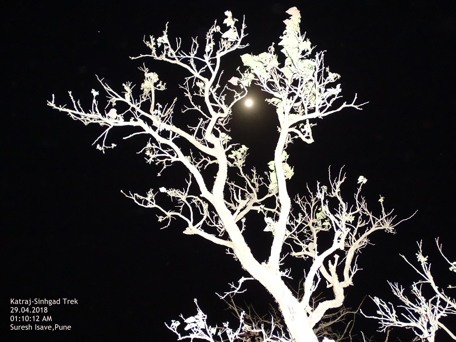
  • Full moon nights from October to May are most popular season for the trek.
  • Do warm up exercise before starting the trek and stretching after ending the trek. 
  • Avoid weak persons or beginners. Its not everyone's cup of tea. 
  • Take rest after regular intervals. Do stretching if you know it. 
  • Don't show up of your power initially, because trek gets difficult how we progress. 
  • There about 14 Hills on the trek which has risky descends. Ascending is easier but descending is difficult. Sit and get down if you fill unsafe. Don't be over confident.
  • Because of over use of trails, lose soil and stones are found in the paths which makes the path slippery. 
  • Take rest if you feel. Don't compete or race with others.
  • You will fully exhausted after 8/10 hills, so slower down your speed and complete the trek with great sense of en-devour, courage and patience. 
  • Wear full sleeve and grip shoes.
  • Some plants a re thorny on the path. Some of those are height of your head and eye. their branches not clearly visible so your eyes, face, hand may get hurt. 
  • Carry torch or head lamp, although the full moon gives enough light, but somewhere you need better light.
  • Follow the path where most of the people going. Don't take any short cuts.
Food and Water :  
  • There is no facility of food or water on the trek.
  • Carry tiffins and at least 4 ltrs of water per head. take light food. Do not eat too much. Keep dry food to eat after regular intervals. 
  • You will get food and water at the end point of trek i.e. Sinhgad parking. 
  • Take brush and paste to get fresh in morning. 

I did this trek on 28th April 2018 at 10pm and finished it on 29th April 2018 7am with my students.. Pradeep Patil, Dinkar Pathwe, Nitin Kulkarni, Sainath Jagdale, Parshuram Bhangre, Hemant Patil, Sandip Jadhav, Srikar Surywanshi, Naresh Irphale, Khandu Dayal, Kumar Khunte, Sanjay Deshmukhe and Shrirang Gorse.


8.11.17

Railing Plateau रायलिंग पठार

Railing Plateau

Rayling plateau not known to many people because the area is known and identified as on the famous fort Lingana. 
The Lingana fort is famous so the plateau is used to stay or watch the Lingana. But the plateau itself is very beautiful.
The villagers tell that the Railing is named because Raigad and Lingana forts can be seen from this plateau, so its combined the names of both forts and named Railing.
The plateau is very scenic in the monsoon and its full of tiny flowers and grass in winter. This a perfect offbeat location for camping and overnight stay. 

How to Reach :
Its about 90 km from Pune. Its 3 hrs journey from Pune by private vehicle. 
You have reach to Velhe 
i) Pune-Khandkwasla_Khanapur-Pabe Ghat-Velhe,(46km) 
or
ii) Pune-Banglore highway-Shindewadi-Toll plaza-right turn from Nasrapur-Velhe (56km)

Velhe-Bhatti-Kelad Khind- (12km) Take right turn immediately after Khind (pass) to Singapur Mohari villahe raod- Next road is on the top of the ridge of almost 10 km. The raod is rough and stony. Not suitable for city cars. Drive carefully because decends on both side of the raod. Its loneley road. No Shops no stores. 
After hard ride of 30 mins you will reach to the Mohari village. left turning road goes to Singapur village, Here the slope is very steep, so park your four wheeler here. Two wheelers or samll cars may taken ahead to the Mohari Village. 
But you are advised to park vehicle downside.
Last petrol pump and stores are at Velhe only.


Food and Stay :
Mohari and Singapur both are small villages. No restaurants and shops are available here. So nothing will be available there. Some villagers may cook food for small groups on request.
Tiffins are suggested. It will take 6/7 hours to return. 
Home stay may provided in both villages or u may camp here.
Mobile range not found.

Singapur village

Mohari Village
About Trek :
The trek is simple and easy. But the route is confusing. There is every possibility to get lost in the deep n dark jungle. There are many routes you will find due to animals and water channels. It is critical to select the right way. Wait and use directional sense to find expected route as per your plan. The routes are indicated A,B,C,D in the map below.

Route A :
Its will take 2:30 hrs from right side route. Its extreme right side route. The longest route to reach Railing plateau. If you want more trek then follow this route. It will show you wonderful view of the edges of Sahyadri.


Route B: 
This route goes on the top of the hill and you can trek by watching better view of the surrounding. It is best Photographic route but lonely at the same time. It is a trek of approx 2 hrs. 


Route C :
It is a shortest route. Take left to reach the plateau from the juctions of route. It will take approx.1:30 hrs to reach the plateau. You may confuse with the trail of  Boratyachi Naal which goes to Lingana fort base. So be careful, if you lost you will reach at the base and not on the Railing Plateau.


Route D :
The route takes you to the base of Lingan fort through Boratyachi naal (बोराट्याची नाळ )  which also start from the same Mohari village. As soon as you enter in valley with stony path, you should understand that you have entered in Boratyachi Naal.

There are no marking for different routes. Its a dark jungle from where these different routes separated So better to take guide( वाटाड्या )from village. Boys from the Mohari village happily serves this task without much expectations. 
In case of confusion keep left for Railing plateau. Its a shortest way to reach the Railing plateau. If you lost, Don't be panic you will reach from the longest route to the same plateau. The plateau is not connected with any ridge, so you can reach at the cliff from where you can turn by using common sense.


Some trekkers plan to take round trip. They goes from right side and come back from left side route. Its a hill top plateau, so Don't worry if you lost. But you to change time plan.


What to See:
More than destination, the route itself is scenic. There are many streams and waterfalls around from July to November. Different kind of tiny flowers and grass make this route more beautiful. You can drink the sweet water from streams if your guide suggests. 
Grass up to 3 feet high will make your photos more attractive.

The plateau is like a table top vast land with grass cover and rock. It is the perfect place for the Camping. 
There is small stream at the east side of the plateau which runs upto month of November generally.

From the Plateau you can see huge thrilling Lingana fort very near to you and the glorious Raigad in the backgourd. 
The Lingana trek and rappelling points are clearly visible. The Cave which was used as a Jail also visible from Plateau.

The Takamak tok, Jagdishwar Temple, the Samadhi of Shivaji Maharaj, Darugola Kothaar of Raigad can be easily seen with naked eyes. The view of Raigad would be more clear in the morning due to sunlight angle.

The Konkandiva fort to the extreme right side (North-West) also visible clearly. 
Varandha ghat, Kavlya fort, Madheghat, Nanemachi waterfall and Shevate waterfall  region is visible to the East-South direction.(Left-Front side)

Torna fort is situated to the East direction and Budhala Maachi of Torna fort is claerly visible.

Kal river bank can be seen from the plateau which separates the Sahyadri cliffs from Konkan region. 


Trek-Safety :

  • Remember it is off beat and lonely destination.
  • Visit only on Sundays.
  • Visit with group.
  • Prefer experienced and professional groups.
  • Road from Kelad khind to Mohari is very rough and stony. Drive carefully.
  • No petrol pump, stores and shops after Velhe.
  • Mobile coverage is weak, don't rely on it.
  • Take village guide with you.
  • Confirm food and stay facility.
  • Carry sufficient water and dry snacks.
  • take every step carefully in forest part of the trek.
  • Dont be over confident about routes.