Pages

14.9.22

Kurdugad fort Trek 2021

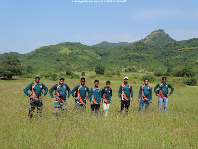
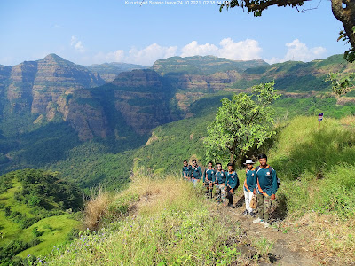
We the Trekking Paltan Pune visited the fort in November 2021. The trek level is medium. We reached in 180 mins from Dhamnhol village to the top of the fort. There are two phases of the trek. First is plain till the watch tower. Second is from Lingya Ghat to the fort in descending direction. 

Kurdu means a Celosia plant also known as woolf-flower. May be because of the shape of the fort it is names after this Kurdu Flower. 


How to Reach: The fort is rightly located on the Google map. It is about 80 km from Pune and 2 hours 30 mins time journey. Pune- Pirangut-Temghar- Lavasa- Lavasa ( Dasve) Dam bridge - straight after bridge to base village Dhamanovol Village. The road is motorable but lonely after Lavasa. If you go from Lavasa main door entry you have to pay Rs. 500 per car and Rs200 oer bike. To avoid it, you can reach to Lavasa via Panshet-Varsgaon dam backwater road.                                                                        

See the Complete Trek route 

Food and Water : Can be available in the village Dhamanhol. The village is small and remote. Only small shop is there. Homemade food and guides are available in the village. We suggest carrying your food with you. 

Parking is freely available in the open space. 

Start your trek from the temple. The trail is not very clear. 

Trek begins from the temple. 
Trekking Paltan Group - Amol Gore, Raviraj Thorat, Dnyaneshwar Arne, Ajay Khadake, Pratham Patil, Lalit Bagal, Pradeep Patil and Sainath Jagdale. 
Keep watch on the tower while walking. Because the fort is not visible from here. 
Dhamanhol Village from the watch tower
After the tower the Kurdugad visible 
Take descending trail towards historical Lingya ghat.
Keep eye on the fort and proceed through dense jungle for 40 mins. 
Lingya Ghat
The small water stream for refreshment 
Here we reach on a plateau after a dense Jungle. Here the other trek routes come from village Jite and Umbardi. The Kurdudevi temple is there. 
Final Ascend of 15-20 minutes 
Maha-Darwaja -Entrance 
Be careful on narrow trail 
Reached on the fort. 
Take left trail to see natural cave and stone ark 
Wide Natural Cave


One you reached here, start ascending on the right side. 

Natural Stone Ark
Descending 

There is Tamhini Ghat behind the Sahyadri ranges 
Rest after Lunch 
Returning from Lingy Ghat

Dhamnohol Village from the watch tower 
Trek Completed Successfully by Trekking Paltan Pune Group


13.9.22

Shirwal Caves Sept_2020

We Trekking Paltan Pune group visited the Shirval Caves in Sept 2020

How to Reach : It is about 50 km from Pune. Shirval is situated on Pune Satara Road. After Neera River bridge there is Shirval MIDC. Take a second right turn to MIDC and keep an eye on the tall Chimney. ( Google Map Link -https://goo.gl/maps/PtYHJC8jauqpFSZ16) 

At the end of the MIDC you will find an open space and rough road. you can go ahead till the base of the caves but in the rainy season see the road condition and decide. 

There is no food and water available near caves. So better you carry from Shirval highway. 

Walk for 20-30 mins to reach the caves. road is clearly visible. 

Better to go in groups because the place looks lonely
Caves visible from a distance 
The ascend is gentle and easy.
Stup and Lord Shiva 
There are only 6-7 caves are there. Not much sculpture is there. It looks like incomplete work.
20-30 minuets are sufficient to explore the caves. 
View from the caves 
After watching caves, we went on the top of the cave hills. The view is very beautiful from here. 
Neera bridge on NH48
River Neera and Gunjavani Confluence 
Lunch with from left Khandu Dayal Dr. Sandip Patil, Pratham Patil, Pradeep Patil, Dnyaneshwar Arne, Sanjay Deshamukhe